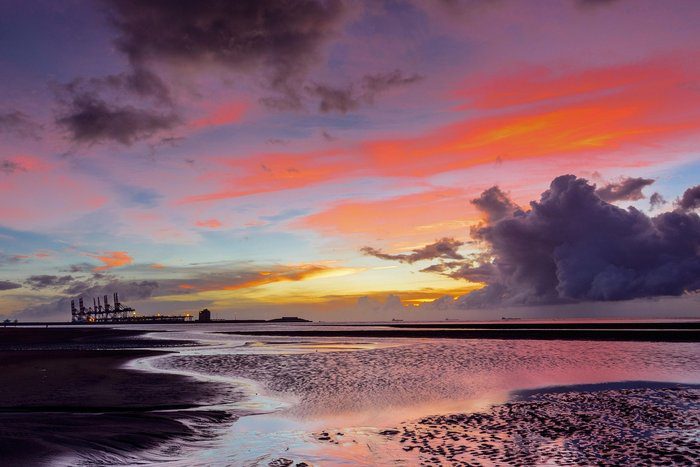
This Sunday night (8/2), expect more high clouds. There might be some low clouds and light fog.
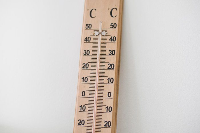
Winds will mainly come from the west to northwest, blowing weak to moderate at 3 to 4 Beaufort. In the west, they may get moderate at times, reaching 4 Beaufort. The sea will be a bit rough. The temperature will drop to 9 degrees inland, about 10 degrees on the southern and eastern coasts, around 12 degrees on the western and northern coasts, and 5 degrees in the higher mountains.
On Monday (9/2), expect more clouds throughout the day. Winds will blow from the southwest to northwest, weak to moderate at 3 to 4 Beaufort, and may become strong in the afternoon on the southern coast, reaching 4 to 5 Beaufort. The sea will still be a bit rough. The temperature will rise to 19 degrees inland, around 20 degrees on the coasts, and 13 degrees in the higher mountains.
At night, there will be more clouds. Winds will mainly come from the northwest to northeast, blowing weakly at 3 Beaufort, and the sea will remain slightly rough. On Tuesday (10/2), expect mostly cloudy weather with local showers and isolated thunderstorms after noon, mainly in the western half of the island.
On Wednesday (11/2) and Thursday (12/2), local showers and isolated thunderstorms are likely, starting in the west and spreading to other areas. The temperature will gradually drop a bit, aligning with average climate values.