


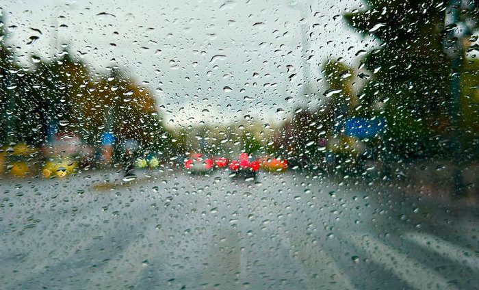
The coming days will be cloudy with rain and snow in the mountains. Starting Sunday, temperatures will drop noticeably across the island.
Today, expect more clouds with some rain and a chance of brief thunderstorms, especially in the afternoon. Higher peaks of Troodos may see snow or sleet. Winds will start off weak and variable, then strengthen and shift to northwesterly to northeasterly, reaching 3 to 4 Beaufort. The sea will stay calm to slightly rough. Temperatures will rise to 15 degrees inland, 17 degrees on the coast, and around 5 degrees in the mountains.
At night, not much will change. There will still be clouds, local rain, and snowfall in higher mountains. Winds will blow from the north to northeast at 3 to 4 Beaufort, sometimes hitting 5 Beaufort near the coast. The sea will get slightly rougher mainly in the north, east, and south. Temperatures will drop to about 8 degrees inland, 10 degrees on the coast, and close to 1 degree in the mountains, with some frost in places.
On Sunday, expect mostly cloudy weather with local rain that will mainly affect the west and southwest. Snowfall will continue in higher mountains. On Monday, there may be isolated showers and snow in mountainous areas, with cold weather sticking around. Tuesday is expected to improve with mainly clear skies but low temperatures.
Temperatures will be noticeably lower than average for this time of year, with snow depth at Chionistra reaching 26 centimeters.


