


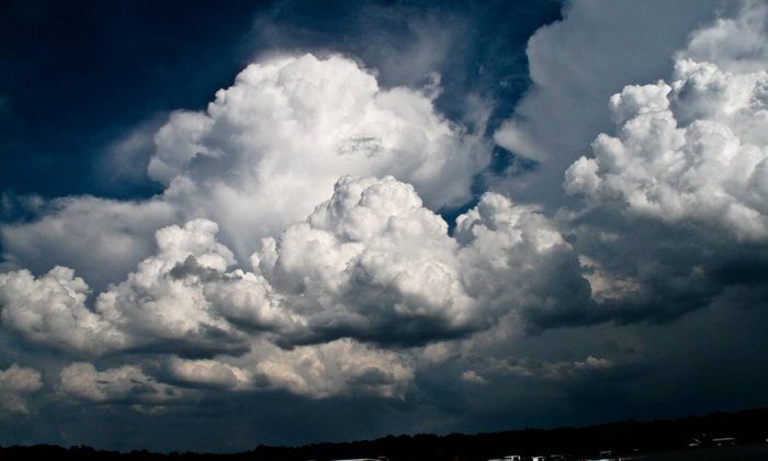
Instability is hitting the region due to weak low pressure. A new low-pressure system from Greece will affect the island starting late tonight. Dust will linger in the air until tomorrow morning.
During the day, expect more clouds with local showers and a chance of an isolated thunderstorm, mainly in the west and later in the north. Snow or sleet may fall on the peaks of Troodos. Winds will be 3-4 Beaufort, reaching up to 6 Beaufort in some areas, making the sea slightly to moderately rough. The temperature will hit around 20°C inland and on the coast, and 9°C in the mountains.
At night, especially at dawn, rain and thunderstorms are likely, with stronger winds up to 6 Beaufort and possible snowfall in the mountains. The temperature will drop to 12°C inland, 14°C on the coast, and 6°C in the higher mountains.
On Wednesday, rain and thunderstorms will keep going, along with strong westerly winds and snow in the mountains. From Thursday and Friday, the weather will slowly get better with some clouds.
The temperature will dip slightly on Wednesday but rise a bit by the end of the week.


