


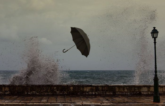
The weather is getting worse for a bit because of a low-pressure system over the Black Sea. Dense dust will be in the air until noon.
Today, expect mostly cloudy skies with rain and local storms. Snow may fall on the higher peaks of Troodos. These conditions will ease up in the afternoon.
Winds will come from the southwest to west, strong and sometimes very strong at 5-6 Beaufort. In some areas, it could reach 7 Beaufort, with gusts up to 10 Beaufort. The sea will be rough to stormy. The temperature will go up to 18 degrees inland and on the coasts, and to 6 degrees in the mountains.
Tonight, there will be a few clouds with a chance of isolated showers, mainly in the west. Snow or sleet may occur in the mountains. The temperature will drop to 9 degrees inland, around 11-13 on the coasts, and 4 degrees in the higher mountains where frost could form.
For Thursday, Friday, and Saturday, expect more clouds at times but no major weather events.


